Home
Our People
Our Services
Stormwater Management
Flood Management and Modelling
Advisory and Planning Support
Wastewater and Water Supply
Fluvial Geomorphology and Stream Erosion
About Us
Careers
Contact us
Get in touc
h
Contact Us
Stormwater Management
Learn more
Flood Management & Modelling
Learn more
Advisory and Planning Support
Learn more
Wastewater and Water Supply
Learn more
Fluvial Geomorphology & Stream Erosion
Learn more
Stormwater Management
Flood Management & Modelling
Advisory and Planning Support
Wastewater and Water Supply
Fluvial Geomorphology & Stream Erosion
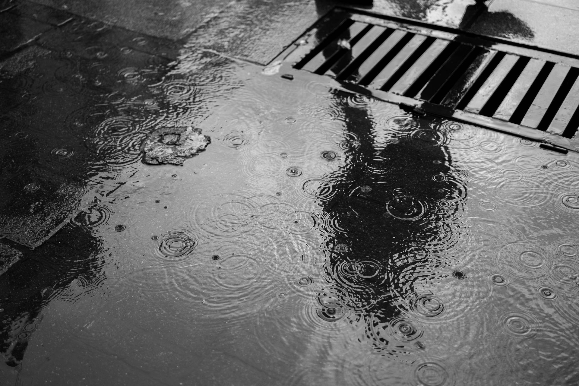
Stormwater Management
Planning and designing stormwater systems that manage flood risk, improve water quality, and overall support development.
Water sensitive urban design, low impact and green infrastructure services
Catchment management and network consenting
Catchment assessments and integrated stormwater management planning
Detention and retention system design
Water quality treatment device selection
Overland flow path assessments
Flood modelling and hazard mapping
Contact us
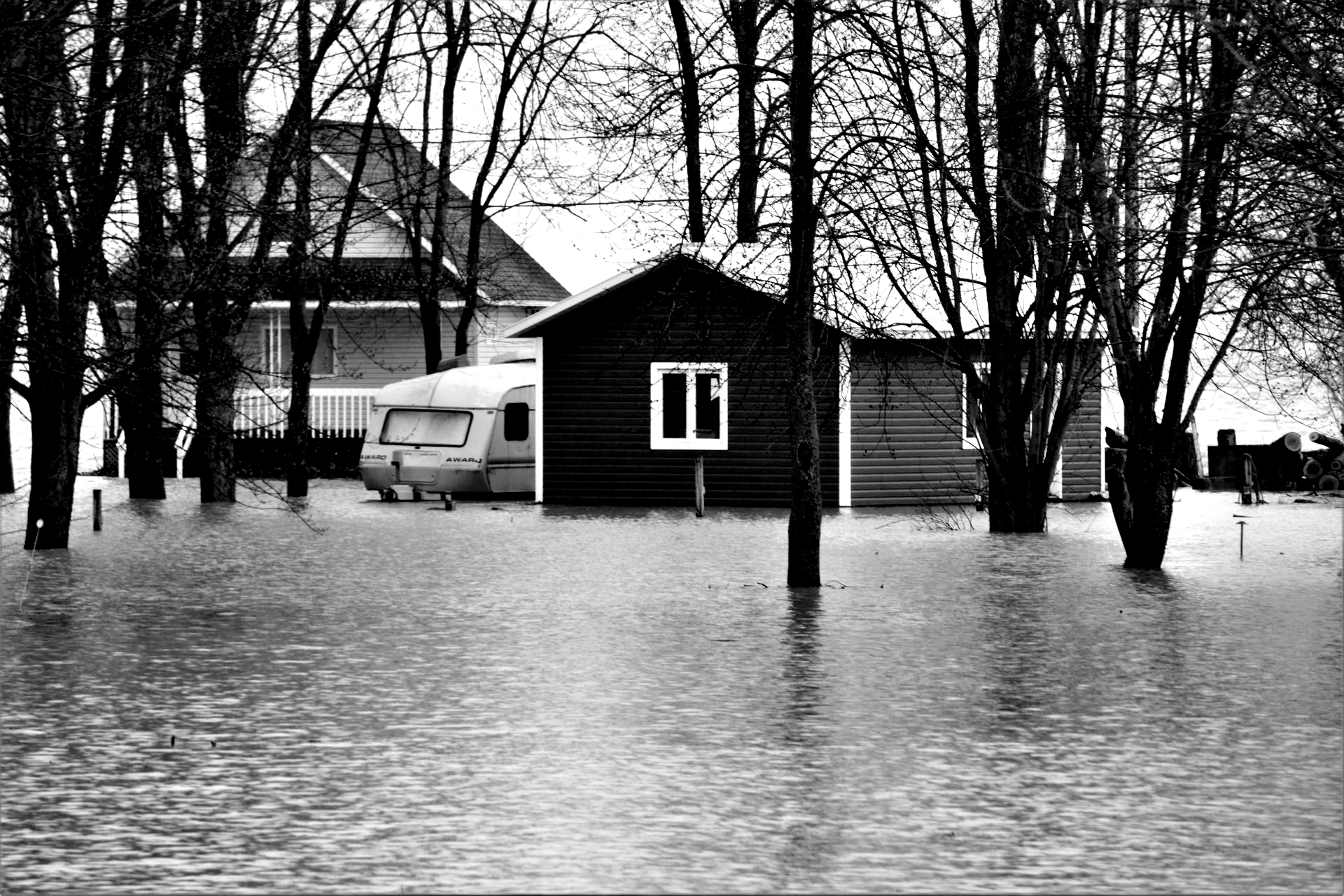
Flood Management
& Modelling
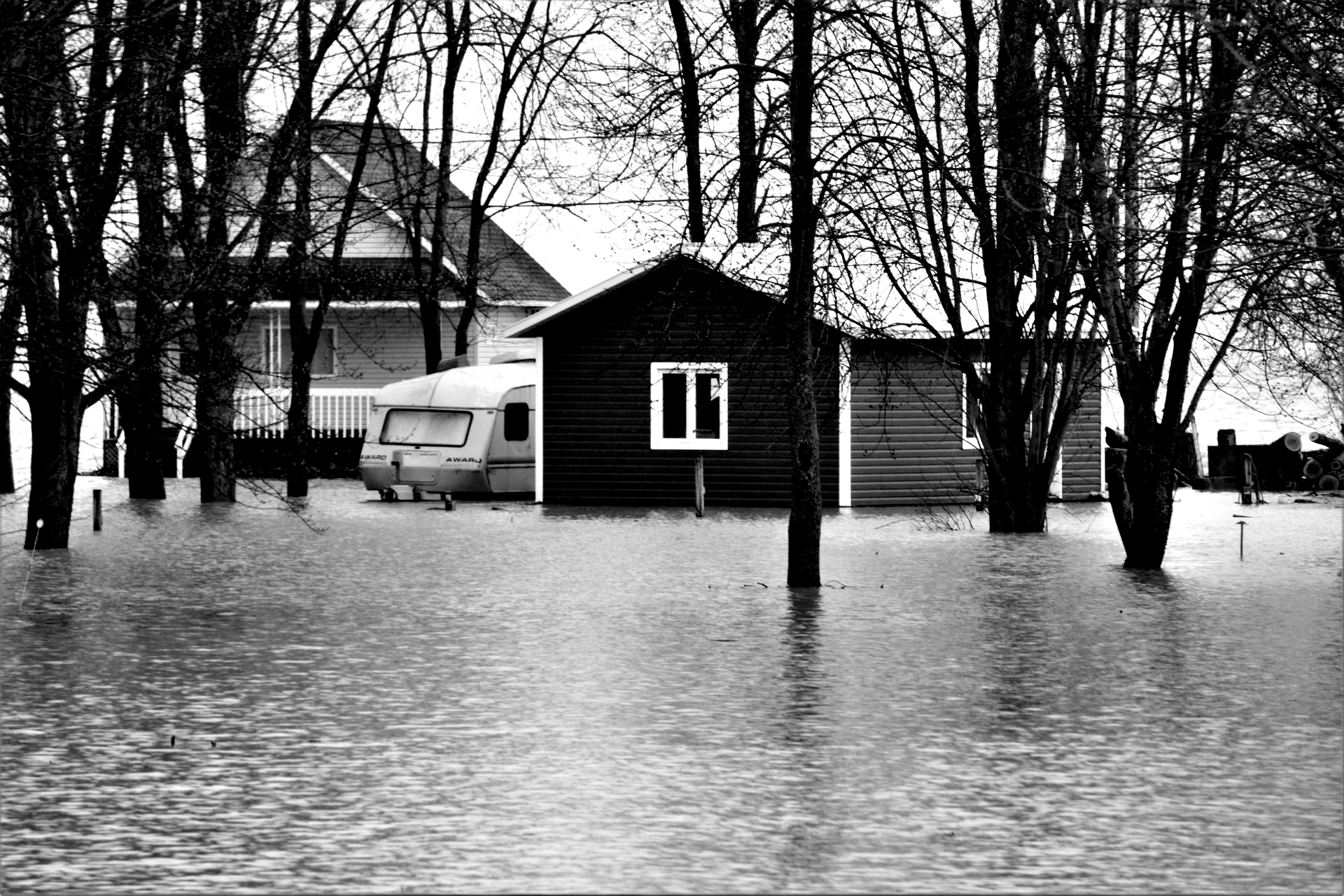
Assessing flood hazards and developing targeted measures that improve resilience at both a site and catchment level.
1D and 2D flood modelling
Floodplain assessments & analysis
Overland flow path impact assessments
Development of mitigation options
Climate change scenario testing
Resilience assessments of developments
GIS mapping and spatial analysis
Hazard mapping and technical input for consenting processes
Contact us
Advisory &
Planning Support
Clear, well reasoned advice that helps projects move smoothly through planning, consenting, and delivery.
Technical reporting
Hearing, caucusing and Environment Court representation
Community engagement and consultation practices
Feasibility assessments
Strategic water infrastructure input
Expert evidence & peer reviews
Plan change support
Stakeholder engagement
Contact us
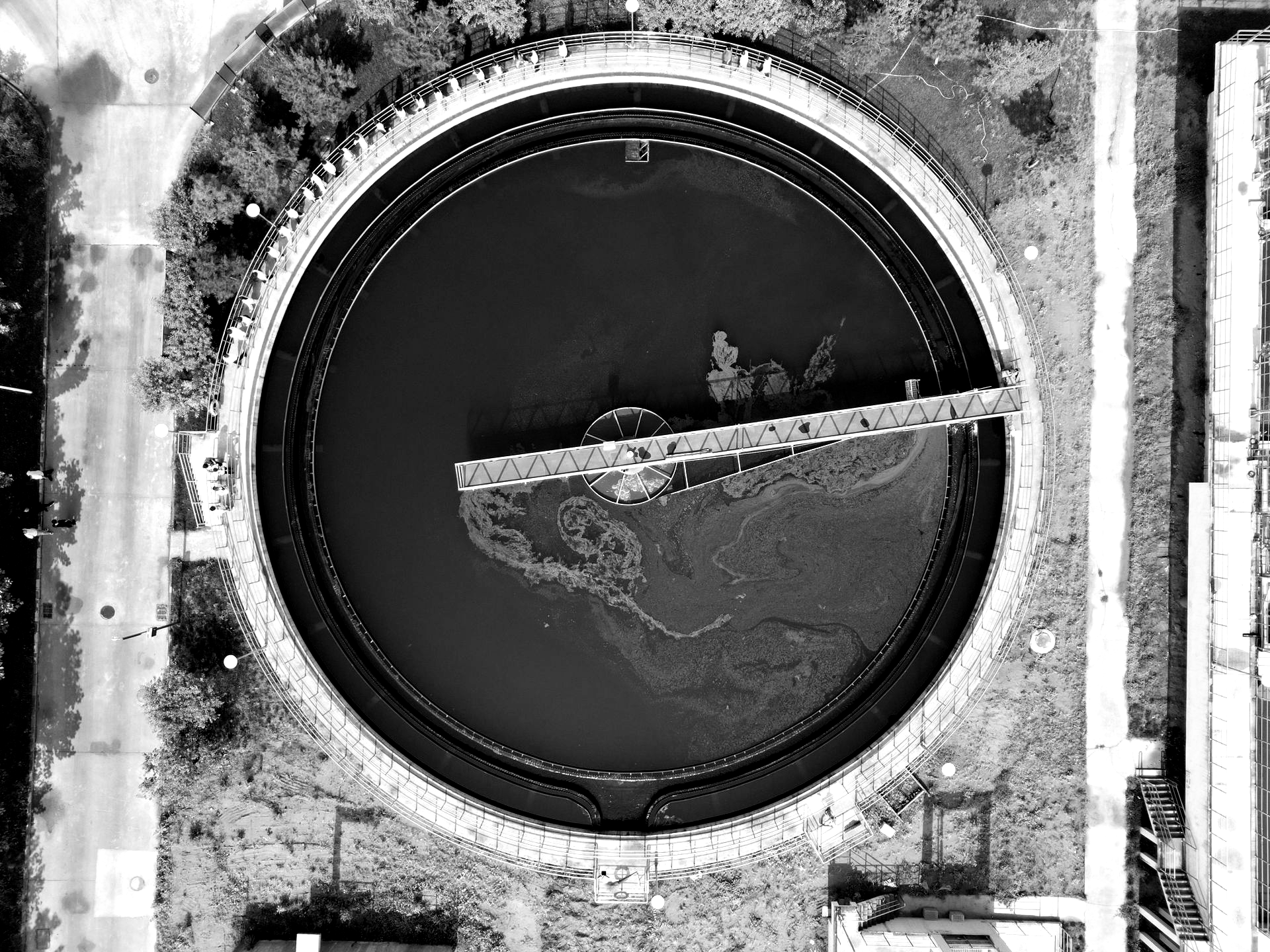
Wastewater &
Water Supply
Reliable advice and design for both existing or new developments, network upgrades, and long term planning.
Network modelling
Capacity assessments
Infrastructure design
Servicing strategies
Contact us
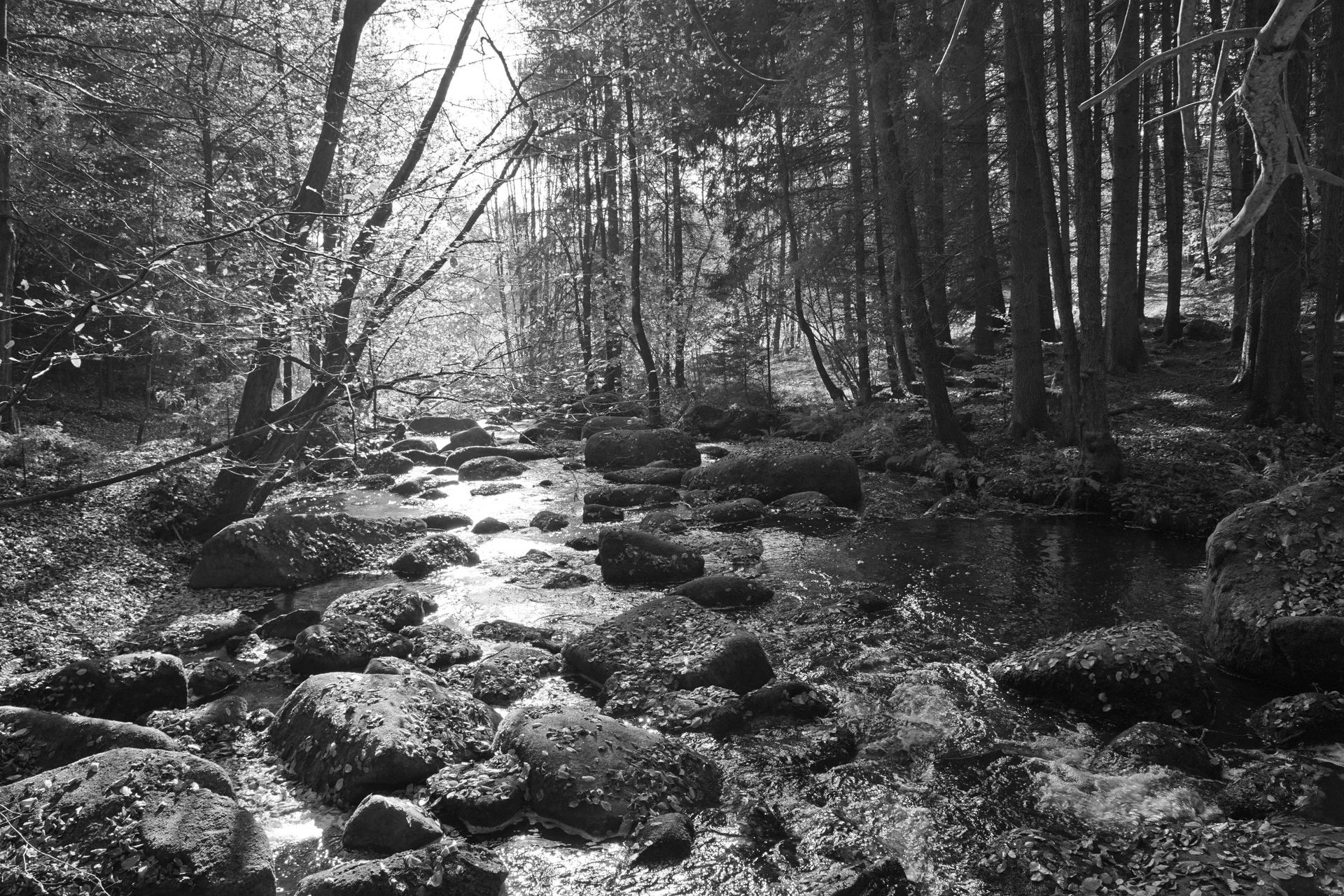
Fluvial Geomorphology & Stream Erosion
Desktop geomorphic assessment (historical imagery, LiDAR, GIS mapping, Geomorphic Change Detection)
On-site geomorphic walkover and field assessment
Stream erosion assessment for masterplanning, SMPs, resource consents, and fast-track applications
Excess shear stress assessment, and bank-stability assessment including B-STEM.
Hydrological and 2D hydrodynamic modelling for erosion assessment under future climate change scenarios.
Morphodynamic (sediment-transport) modelling evaluating stream channel evolution.
UAV drone survey and high-resolution terrain capture.
Evaluation of stream system processes and catchment dynamics.
Evaluation of risk to infrastructure and people
Recommendations and detailed design of mitigation measures.
Contact us